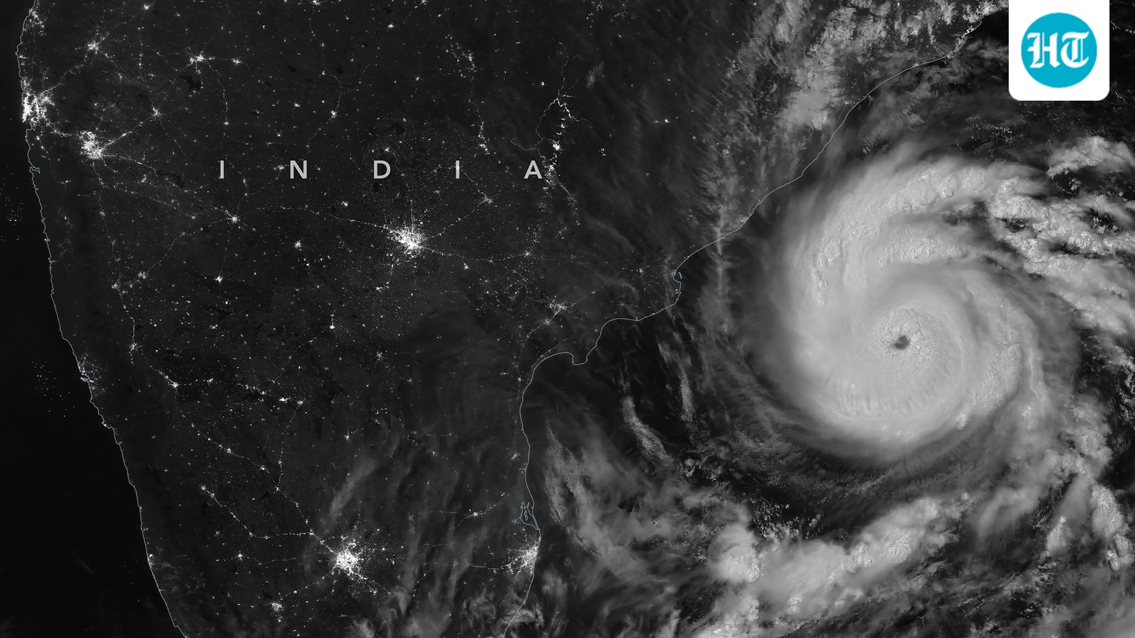
In the vast expanse of the Southeast Bay of Bengal, the atmosphere is beginning to churn with a familiar, unsettling energy. What began as a low-pressure area is currently gathering strength, fueled by cyclonic circulation over the central Andaman Sea and the Andaman and Nicobar Islands. For those living along the coastlines of eastern India, the shifting weather patterns are more than just a change in the breeze; they are a signal of a brewing cyclonic storm that experts believe will take shape over the central Bay of Bengal by the evening of November 16.

This atmospheric development follows a period of significant volatility in the region. The memory of Cyclone Arnab and Cyclone Murasu remains fresh, as both systems left a trail of widespread damage across several Indian states. As the current system matures, the focus shifts from the lessons of the past to the immediate preparations required for what is coming next.
As the system moves toward its projected intensification, the physical characteristics of the weather are becoming increasingly pronounced. The India Meteorological Department (IMD) has already begun tracking the escalating wind speeds. Currently, the Andaman Sea and the Andaman and Nicobar Islands are expected to experience squally weather, with sustained wind speeds ranging between 40 and 50 kmph and gusts capable of reaching 60 kmph.
The state has issued formal alerts to district collectors across its coastal and southern regions, signaling a period of heightened readiness.
However, the intensity is expected to climb as the storm moves deeper into the Bay of Bengal. By November 16 and 17, the IMD forecasts that wind speeds will increase to between 50 and 60 kmph, with even more violent gusts reaching up to 70 kmph. These rising numbers represent the growing kinetic energy of the system, a precursor to the cyclonic storm expected to solidify by the evening of November 16.
While the storm is still finding its footing in the open water, the terrestrial response has already begun. On November 14, the Odisha government moved to ensure that its administrative machinery was positioned ahead of the weather's arrival. The state has issued formal alerts to district collectors across its coastal and southern regions, signaling a period of heightened readiness.
This proactive stance is a matter of administrative caution. Even as the specific impact on the state remains a subject of ongoing monitoring, the government is operating on the principle that preparation must precede certainty. The goal is to ensure that local authorities are not reacting to a crisis, but are instead managing a known risk.
There is a delicate balance between scientific forecasting and governmental action. The India Meteorological Department provides the data, but the state must translate that data into safety. Currently, the IMD has not yet issued a specific prediction regarding the exact impact the system will have on the landmass of Odisha, but the government is not waiting for a definitive strike to act.
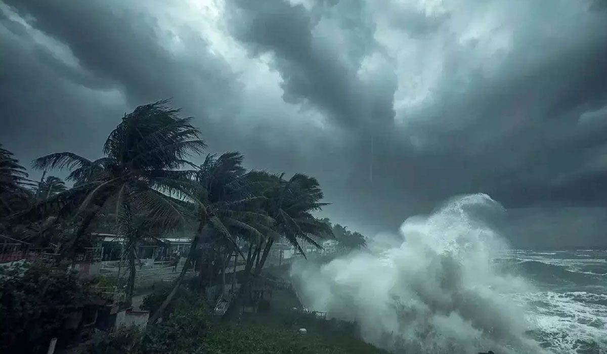
Suresh Pujari, the Disaster Management Minister, has emphasized that the administration is moving with vigilance. "Though the IMD has not made any prediction, we have already taken precautionary measures and informed the district collectors of northern, southern and coastal regions to remain prepared and vigilant about the system brewing in the sea," Pujari stated. This approach seeks to bridge the gap between the evolving meteorological models and the practical need for community safety.
While the wind speeds are the most immediate indicator of the storm's strength, the secondary threat—heavy rainfall—is what will likely define the impact on the ground. The circulation over the Andaman Sea and the Andaman and Nicobar Islands is expected to maintain heavy rainfall through November 16.
As the cyclonic storm intensifies in the central Bay of Bengal, the moisture will be pushed toward the coast. Forecasts suggest that Odisha and coastal Andhra Pradesh are facing a significant period of precipitation, with heavy rainfall expected to arrive on November 18 and 19. This window of heavy rain represents the period when the system's influence will most directly affect the livelihoods and infrastructure of the coastal populations.
As of now, the situation remains in a state of flux. The transition from a low-pressure area to a full cyclonic storm is a process of intensification that the India Meteorological Department continues to monitor closely. For the residents of Odisha and Andhra Pradesh, the coming days will be defined by a watchful eye on the horizon and a reliance on the precautionary measures currently being deployed by local district collectors. The storm is still forming, but the preparations for its arrival are already well underway.